
PUBLIC ISSUE TRACKER APP (PITA)
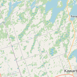
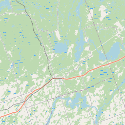
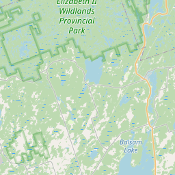
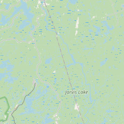
Ward 8 Public Issue Map
Report it. Map it. Track it. Get answers.
One complaint can be overlooked. A map full of complaints cannot.
10
issues tracked
0
resolved
0
awaiting City response
40
average days open
Public-safe data: no names, no exact addresses
Filters
Status
Ward
Category
Community
Date range
New / Open
In Progress
Awaiting City Response
Resolved
Ward overlays
Ward 8







Ward 1
Ward 2
Ward 3
Ward 4
Ward 5
Ward 6
Ward 7
Ward 8
Leaflet © OpenStreetMap contributors
Ward boundaries. Source: City of Kawartha Lakes Ward Boundaries
Mapped reports (8)
W8-2026-0016
New
Rezoned EPA without consent
Building / septic / permits / zoning Write a way off of Chestnut Drive July 31, 2026
76 days open
W8-2026-0019
New
Grading
Roads / potholes / snow / signs Meadowview and #7 highway August 13, 2026
62 days open
W8-2026-0020
New
Crosswalk
Roads / potholes / snow / signs Bethany General Store August 25, 2026
51 days open
W8-2026-0021
New
road needs grading
Roads / potholes / snow / signs chestnut st and centreline rd September 14, 2026
31 days open
W8-2026-0022
New
Chestnut Street entrance need regrading
Roads / potholes / snow / signs chestnut street & centreline rd September 14, 2026
31 days open
W8-2026-0024
New
Safety Issue of road lines
Roads / potholes / snow / signs Frank Hill Rd & Yankee Line September 20, 2026
25 days open
W8-2026-0025
New
Kawartha Trans-Canada Trail
Parks / trails / trees / recreation Kawartha Trans-Canada Trail October 9, 2026
6 days open
W8-2026-0026
New
Kawartha Rail Trail
By-law / property standards / noise / animals Orange Corners Road at the junction of the Kawartha Trans Canada Rail Trail October 10, 2026
5 days open
Reports vs. Resolutions
See whether issues are being reported, followed up, and resolved over time.
- Avg days open
- Resolved
- Still open
- Submitted
Based only on public reports. Privacy-safe aggregates: no names, no addresses.