
PUBLIC ISSUE TRACKER APP (PITA)
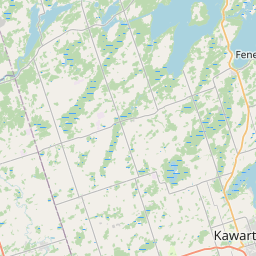
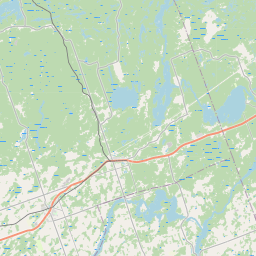
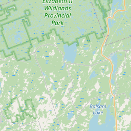
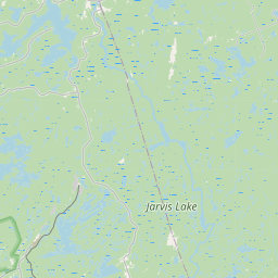
Ward 8 Public Issue Map
Report it. Map it. Track it. Get answers.
One complaint can be overlooked. A map full of complaints cannot.
10
issues tracked
0
resolved
0
awaiting City response
46
average days open
Public-safe data: no names, no exact addresses
Filters
Status
Ward
Category
Community
Date range
New / Open
In Progress
Awaiting City Response
Resolved
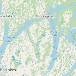
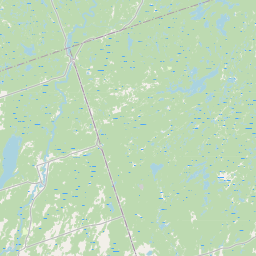
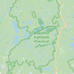
Ward overlays
Ward 8





Ward 1
Ward 2
Ward 3
Ward 4
Ward 5
Ward 6
Ward 7
Ward 8
Leaflet © OpenStreetMap contributors
Ward boundaries. Source: City of Kawartha Lakes Ward Boundaries
Mapped reports (8)
W8-2026-0016
New
Rezoned EPA without consent
Building / septic / permits / zoning Write a way off of Chestnut Drive July 31, 2026
82 days open
W8-2026-0019
New
Grading
Roads / potholes / snow / signs Meadowview and #7 highway August 13, 2026
68 days open
W8-2026-0020
New
Crosswalk
Roads / potholes / snow / signs Bethany General Store August 25, 2026
57 days open
W8-2026-0021
New
road needs grading
Roads / potholes / snow / signs chestnut st and centreline rd September 14, 2026
36 days open
W8-2026-0022
New
Chestnut Street entrance need regrading
Roads / potholes / snow / signs chestnut street & centreline rd September 14, 2026
36 days open
W8-2026-0024
New
Safety Issue of road lines
Roads / potholes / snow / signs Frank Hill Rd & Yankee Line September 20, 2026
31 days open
W8-2026-0025
New
Kawartha Trans-Canada Trail
Parks / trails / trees / recreation Kawartha Trans-Canada Trail October 9, 2026
12 days open
W8-2026-0026
New
Kawartha Rail Trail
By-law / property standards / noise / animals Orange Corners Road at the junction of the Kawartha Trans Canada Rail Trail October 10, 2026
11 days open
Reports vs. Resolutions
See whether issues are being reported, followed up, and resolved over time.
- Avg days open
- Resolved
- Still open
- Submitted
Based only on public reports. Privacy-safe aggregates: no names, no addresses.